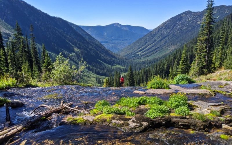
Lake Arrowhead is surrounded by the San Bernardino Forest and stretches along a 14-mile coastline. It is called the “Southern California Alps” by some locals. There are several incredible hiking trails in this mountainous area, including the Pinnacles Trail and the North Shore Trail. Explore a lake Arrowhead hiking trail in The San Bernardino Mountains as they offer incredible panoramic views, wildlife, and relaxation in tranquil nature.
San Bernardino Trek
This is just one of the three mountains in the world with a Mediterranean climate extending from east to west, giving the San Bernardino Mountains many unique ecological regions. It is 20 degrees colder than the downhill.
The San Bernardino National Forest offers an excellent lake Arrowhead hiking trail. The Heaps Peaks Arboretum interpretive trail allows you to better understand our forests and makes your hiking more interesting. Most hiking trails are marked with brown columns with forest service numbers.
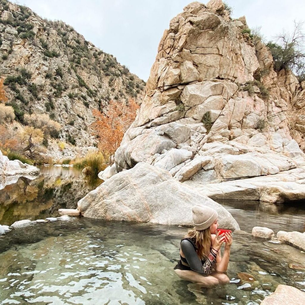
Deep Creek Hot Springs
Deep Creek is the favorite natural hot spring of the locals. This is a round trip, so get off the bus early to spend the day, and then come back before dark. Also, please remember that the clothes here are optional.

Therefore, if you are sensitive to nudists of all ages and body types, this may not be for you. These things make your trip more comfortable: drink plenty of water (don’t drink water from the creek!), reef shoes or flip-flops in the hot springs (the rocks near the lower hot springs may not be flat), some snacks, or a picnic -lunch, a small first aid kit, a big-brimmed hat (it’s a desert, it’s hot outside!), a waterproof camera (if you take a photo, comment here), and thick socks on the way home -If you want to, don’t forget to pick up all the trash.
Sealy Creek Trail
In this lake Arrowhead hiking trail, follow Highway 138 until you reach the entrance to Sealy Camp, then turn left into FS 2N03. Walk a short distance until you reach the beginning of the trail at Heart Rock 4W07, where you can start a smooth two-mile return journey.
Hike along the rocky dirt road, flanked by huge cliffs and charming redwoods stretching to the sky. Continue past the small waterfall near the rock, the heart carved by nature, and then arrive at a large pool surrounded by a large waterfall, where you can play in the cool water.
The Pinnacles
Follow Highway 173 until you reach a rifle club, where you should be able to see the next trail. Pack plenty of water in your backpack, as you will be traveling in a desert climate in this lake Arrowhead hiking trail, where it can get very hot during the day.
As you walk back along this 11.2-kilometer dirt road, you will notice a variety of wildflowers and plants in the desert climate, including wormwood. When you climb to the end among the many cliffs, follow the trail signs to stay on track. At the top, you can see a panoramic view of the Mojave Desert and Lacey Mountain in the distance.

Read more articles: https://wiredremedy.com/
Deep Creek
Drive along Highway 173 to the end of Hook Creek Road and continue driving until you reach the picnic area and toilet. Walk up the steep wormwood-covered slope on this narrow 5.8-kilometer dirt road.
The mighty San Bernardino Mountains keep plenty of water during this moderately challenging hike in California’s sun. When you finally reach the end of this lake Arrowhead hiking trail, you will see large rocks and warm hot spring pools to relax your muscles before returning to Deep Creek Civilization-one of the best hikes near Lake Arrowhead.
North Shore National Recreation Area
Take Highway 173, turn onto Hospital Road and continue driving until you reach North Shore Camping on Trail no. 11, a leisurely 3.1 km hike on the dirt road through the dense forest of the San Bernardino Mountains.
As you walk on this lake Arrowhead hiking trail, you can enjoy the magnificent view of Tavern Bay surrounded by dense evergreen forest. While walking through the forest, visitors will encounter red conifers and trees that have fallen due to bark beetle infestation, a seven-year drought, and severe forest fires.
Natural Loop
Drive along California Highway 18 to Gregory Lake Avenue, then continue to St. Moritz Avenue. Turning right at St. Moritz will take you to the beginning of the trail behind the South Beach parking lot. Follow this simple 4 km long dirt road through evergreen forests and admire the magnificent views of the pristine Gregory Lake. On a warm day in California, cool off in the lakes of the San Bernardino Mountains. Nature Loop is one of the best hiking trails on Lake Arrowhead.
Leaving the concrete jungle of Los Angeles, head north along with one of the multi-lane highways to the peaceful Lake Arrowhead in San Bernardino County and reach a lake Arrowhead hiking trail from this article. Finally, if you want to save money on your hiking trips, you should find discount codes on Couponxoo.com which have lots of great deals you can find.


